Le Vert , la Belle et les Châteaux
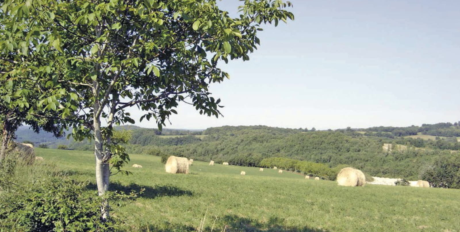
Circuit in dry then wet areas, on the plateaus of Mechmont and the valley of the Green bringing calm and freshness.
It measured 4 to 6 meters. Its body was covered with bony plates and its lower jaw measured 1 meters. The Gigouzac crocodile - steneosaurus - whose fossil bones were discovered in 23 by a geologist from Lot lived in the region around 1948 million years ago. This was then a marshy coastal area overlooking a sea linking the Paris basin, England, Belgium, Germany and the
Languedoc. In these warm waters, many living organisms flourished.
Go equipped with suitable shoes and waterproof clothing, protect yourself from the sun, bring water and find out about the weather conditions. At point 7, stony passage in the undergrowth.
Facing the church, turn right. Go along the pond, then follow the “le Vert” stream on the left bank. Go through a meadow.
Leave a road on the left and continue straight along the stream. Arrived at a road, turn right.
In a right bend, take the road on the left. Then quickly take the path that goes up on the right. After rediscovering the road, follow the path that climbs opposite in the direction of “Mas de Jouanis”.
In the hamlet, take the road on the left. In the next bend, turn right and at the houses, go down a grassy path on the left. Follow it towards “Cap del Bosc”. Fork on a path to the right in the undergrowth. At the intersection with a path, turn left, then immediately right to reach a road.
Take it to the right. After a house, leave the road to take a path on the left which leads to the “Mas de Bouyssou”. Follow a wide path for 1,5 km up to the “Teissié” crossing. Before reaching the road, take a grassy path on the left which passes next to a barn. Go down in a wood to join the road. Follow it for 200 m to the left and take the path to the right which passes in front of the wash house and climb up to reach Mechmont.
Go past the cemetery and take the road opposite.
After "les Granges", turn right into the undergrowth. At the road, take the road opposite to the D 13. Follow it to the right and immediately turn left towards Mas de Paltrié.
Cross the hamlet, turn right before the last house and descend into the woods. Below, turn right and immediately descend. Turn left towards “Lafaurie”. At the road, turn left and go down again to the left after the house.
At the end of the descent, turn left. At the road, turn left opposite the bridge to follow the stream. Follow it for 2,5 km.
Arrived at a road, turn right to cross the stream then immediately left to reach Gigouzac by the D 127.

Just cross the bridges
CALAMAN
The Path of the Priors
CATUS
Stroll on the banks of the Lot
PRADINES
Circuit of Viewpoints
DOUELLE
The pointed rock
SAINT GERY-VERS